search
Map Portugal algarve region
Map of algarve region of Portugal. Map Portugal algarve region (Southern Europe - Europe) to print. Map Portugal algarve region (Southern Europe - Europe) to download. The Algarve (Portuguese pronunciation: [aɫˈɡaɾv(ɨ)], from Arabic: الغرب, trans. Al-Gharb, meaning "The West") is the southernmost region of mainland Portugal. It has an area of 5,412 square kilometres (2,090 sq mi) with approximately 450,484 permanent inhabitants, and incorporates 16 municipalities as its shown in the map Portugal algarve region. The region coincides with the Faro District, and has as its administrative centre the city of Faro, where both the region international airport at Faro (FAO) and public university (the University of the Algarve) are located. Tourism and related activities are extensive and make up the bulk of the Algarve summer economy. Fish, seafood and fruit production, which includes oranges, carob beans, figs and almonds, are other important activities in the region.
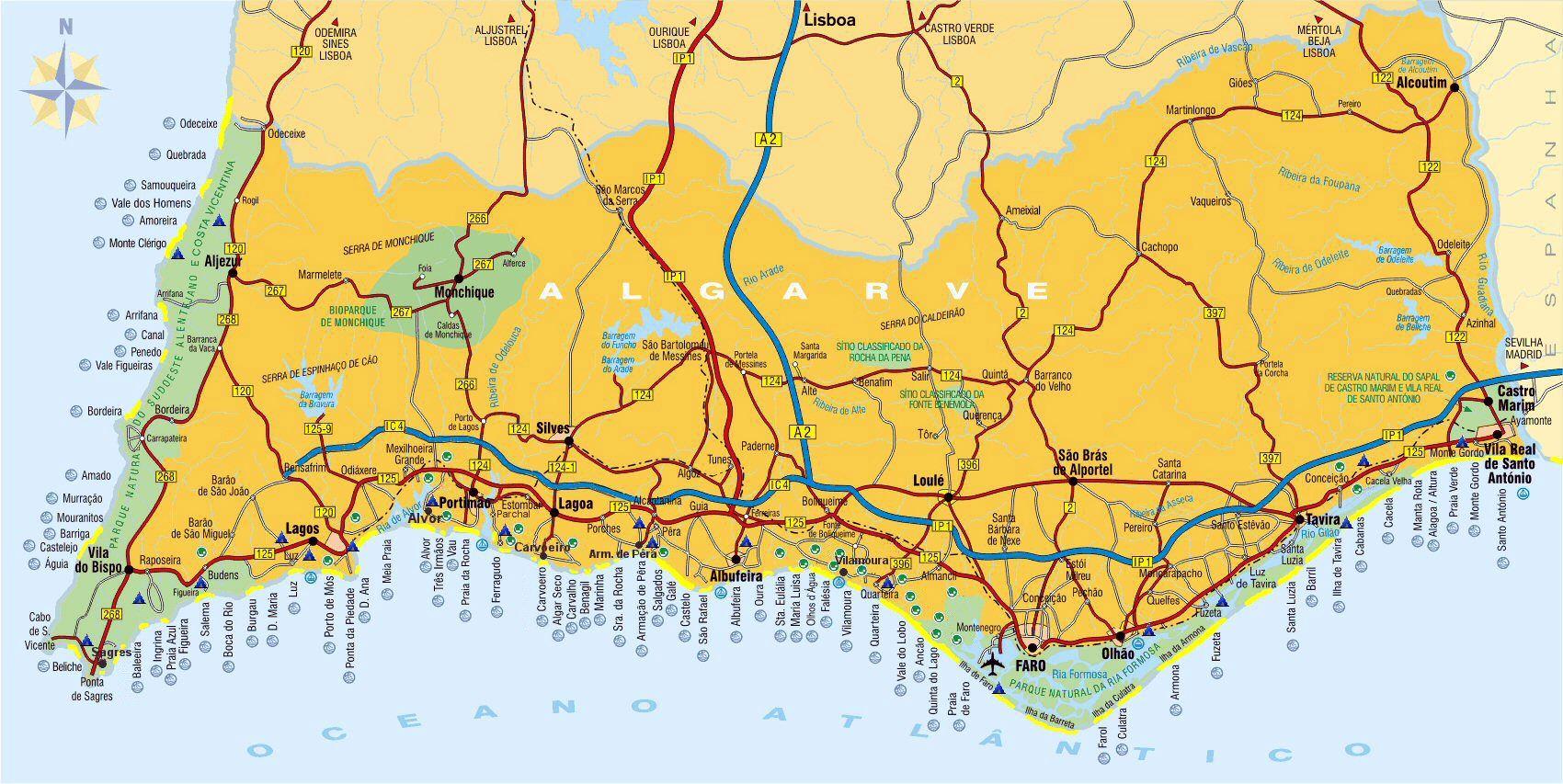
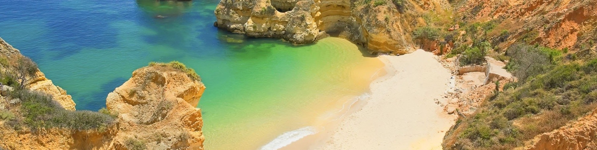
The Algarve is the most popular tourist destination in Portugal, and one of the most popular in Europe. Its population triples in the peak holiday season thanks to a high influx of visitors, and receives an average of 7 million foreign tourists each year. In total, including national visitors, almost 10 million people visit the Algarve every year. The Algarve is currently the third richest region in Portugal, with a GDP per capita of 86% of the European Union average as its mentioned in the map Portugal algarve region. The Algarve has approximately 5412 square km, extending just south of the Tagus valley to the southern coast of the Iberian Peninsula. Its highest point is Fóia, 902 metres (2,959 ft), in the mountain range of Monchique. It also includes some islands and islets. The region is also the home of the Ria Formosa lagoon, a nature reserve of over 170 square kilometres and a stopping place for hundreds of different birds.